File:Palsgraf1916Map.jpg
From NewlyPossible.org

Size of this preview: 798 × 600 pixels. Other resolutions: 319 × 240 pixels | 2,614 × 1,965 pixels.
Original file (2,614 × 1,965 pixels, file size: 690 KB, MIME type: image/jpeg)
Summary
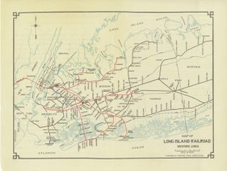
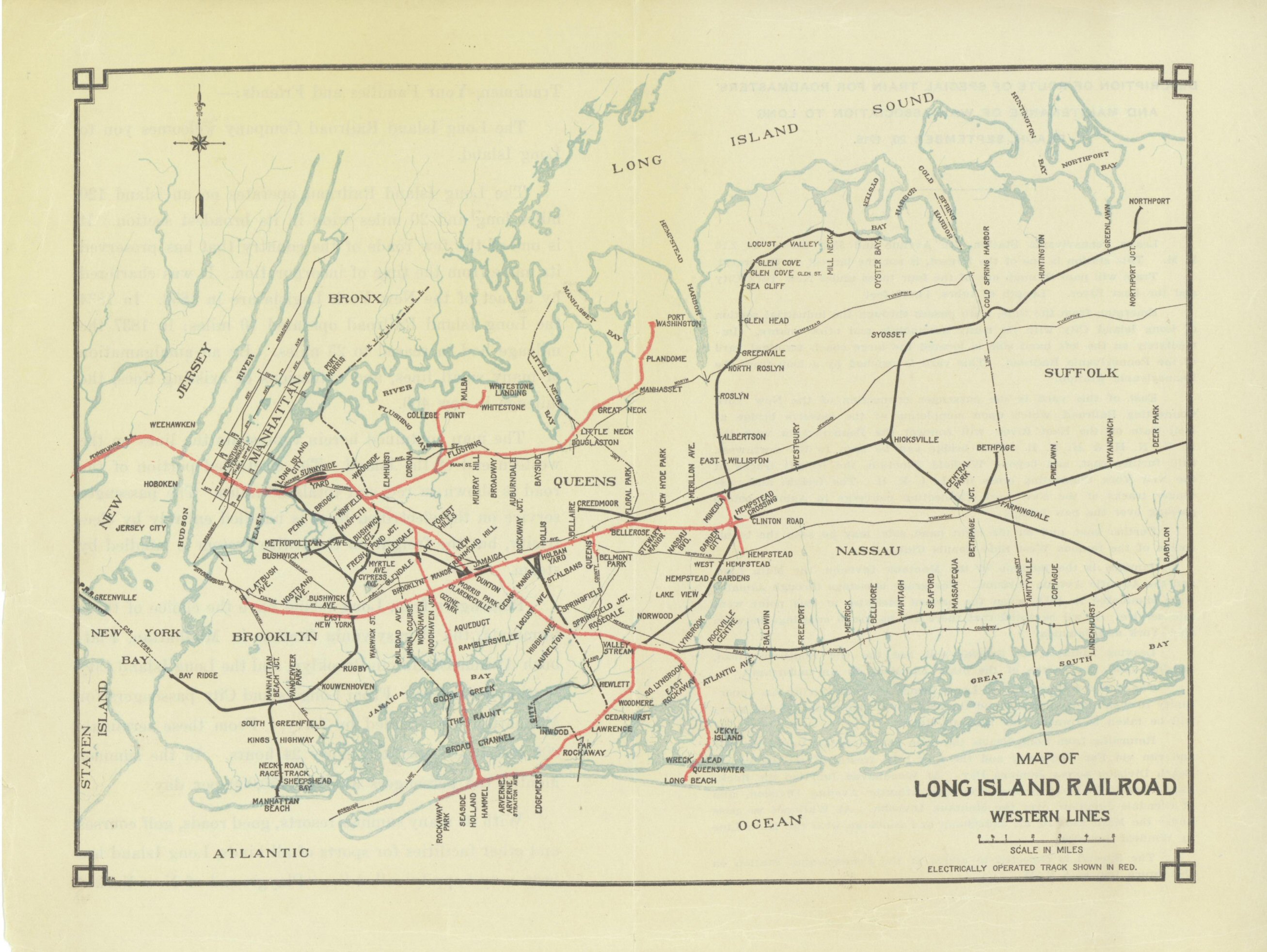
1916 transit map showing East New York station (just northeast of the word BROOKLYN) at issue in Palsgraf for Torts. http://www.trainsarefun.com/lirr/images/1916map.jpg
File history
Click on a date/time to view the file as it appeared at that time.
| Date/Time | Thumbnail | Dimensions | User | Comment | |
|---|---|---|---|---|---|
| current | 11:52, 24 February 2021 | | 2,614 × 1,965 (690 KB) | Neumoeglich (talk | contribs) | 1916 transit map showing East New York station (just northeast of the word BROOKLYN) at issue in Palsgraf for Torts |
You cannot overwrite this file.
File usage
The following 2 pages use this file: